 |
Vinci A8B46College Campus Terrain Dataset |
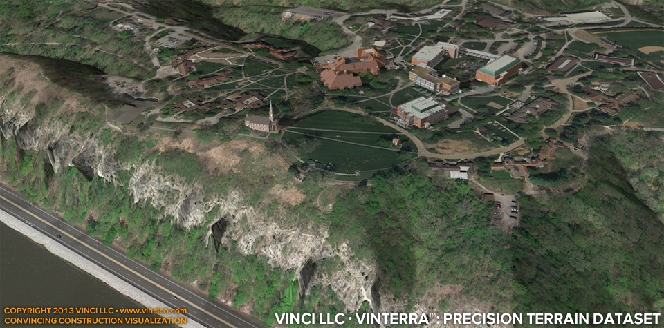
Vinci VinTerra™ | Campus Contextual Terrain
A 3d digital model of your campus is a useful planning tool. Vinci LLC uses your civil survey data to model the landforms to a higher degree of precision than those freely available using major search engine branded applications. Complete the picture with digital models of your facilities professionally produced by a Missouri-registered architect. The result is a faithful rendition of conditions at your campus. Use the model to study security, development, traffic, and access issues across your entire campus!
This page last modified Saturday 6 April 2013.