 |
Vinci A8B46College Campus Terrain Dataset |
LOCATION:
MIDWEST USA
YEAR PRODUCED:
2012 Q4
CONST. SCOPE: ⇒
4 ••••
VINCI PROJECT LEVEL: ⇒
1½ •·
DEVELOPMENT TIME (DAYS): ⇒
7 •
SURGE INTENSITY (%): ⇒
0% —
VINCI FEATURES
Vinci VinTerra™
Click the “⇒” symbols above for more information on these terms and metrics. Click the “→” symbols for examples.
Similar Projects:

M85B5 EDUCATION, VINTERRA

A84A0 EDUCATION, VINTERRA

A8235 EDUCATION
Digital 3d Campus Models
Your real estate is the stage upon which your organization performs its mission. A 3d model of your campus can help ensure your facilities are optimally aiding that mission. Study development, circulation, security, using a Vinci LLC VinEstate™ model.
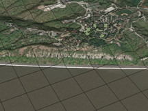
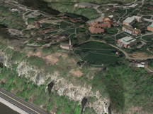
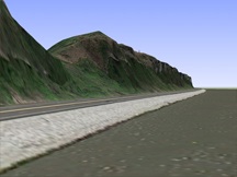
The basis of any campus is its terrain. Vinci VinTerra™ terrain models using civil engineer’s or surveyors’ contour data you provide. This achieves a closer match to actual conditions on your worksite than any broad-brush dataset offered by major search engine corporations. VinTerra™ can be built to suit virtually any lot size, and can unobtrusively include neighboring terrain so you can study the effect of your development on your neighbors.
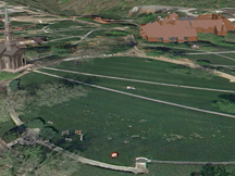
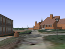
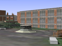
Vinci LLC can build general models of all major and many minor improvements on your site as well, using as-built drawings and site observations. Vinci LLC can include custom minor improvements built according to observations and, if desired, measurement on site. Presented below are two examples related to Vinci Project Number M8B46.
This page last modified Saturday 6 April 2013.
