 |
Vinci A8B46College Campus Terrain Dataset |
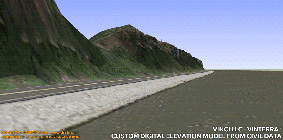
Vinci VinTerra™ | Custom Digital Elevation Model from Civil Data
Purveyors of free landscape datasets (such as major search engine companies) employ a broad-brush dataset with a great deal of error. Such error is most apparent at abrupt changes of elevation. The Vinci VinTerra™ dataset uses civil survey data you provide, yielding a much more faithful rendition of your property. The broad-brush dataset can be useful in the absence of civil survey data; in this case Vinci LLC will attempt to “correct” the data to approach the conditions actually observed on your site. (Note that VinTerra™ is not a land survey service).
This page last modified Saturday 6 April 2013.