 |
Vinci A9A09Wastewater Plant Rehab |
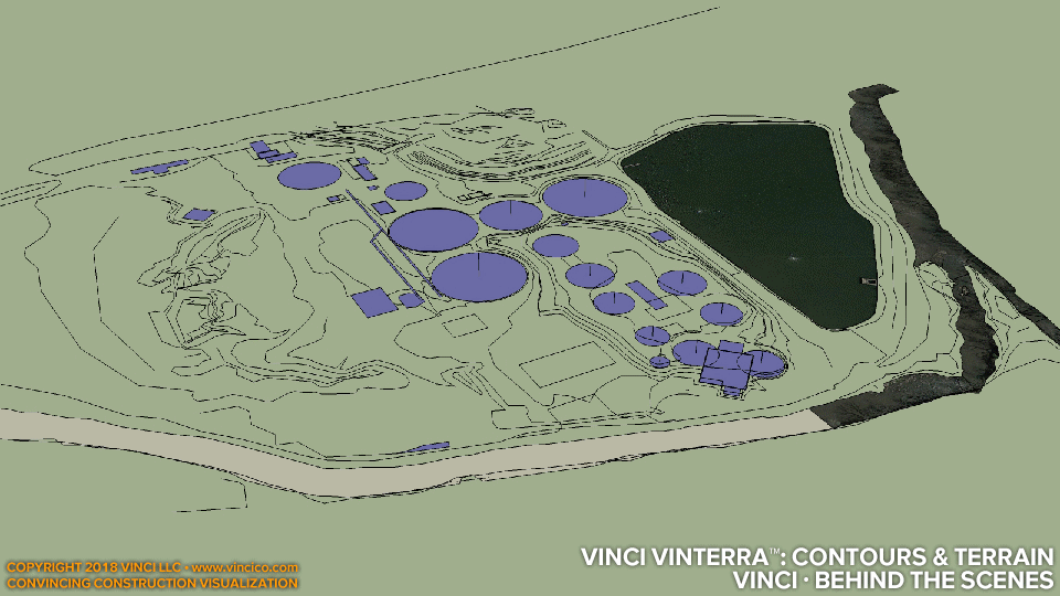
Vinci · Behind the Scenes | Site Topography and Contours
Keep your feet on the ground and your head in the sky! So goes the saying. All terrestrial construction happens on terra firma; naturally terrain is relevant to many construction jobs. This particular project’s paramount focus is the working of grade to affect water channel and flood plain alterations such that the rehabilitated plant would be less prone to flood. Thus the bringing-in of contour information borne by civil drawings and commercially-available digital elevation models (DEMs) is key. Once we have arrived at a good local DEM, we can begin modeling excavation, cuts & fills, backfill, etc. and “keep our feet on the ground” to make for a complete, convincing rendition of work on site.
Click for more: plantwide schedule, demolition, worksite model detail. Check out other terrain models and excavations Vinci LLC has produced.
This page last modified Saturday 10 February 2018.